Erik Wagner · 30 October 2026
Regional Interest Grows in Montal's River Management Methods as Neighbors Pursue Joint Solutions
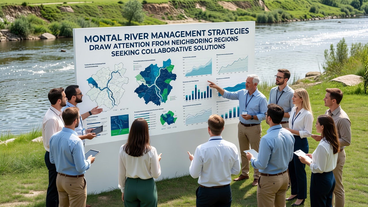
Observers note that Montal has developed river management strategies focused on flood mitigation, water quality monitoring, and sustainable resource allocation along the Montal River system, and these approaches have prompted inquiries from adjacent regions seeking to establish cooperative frameworks. Data from regional environmental assessments indicate that coordinated efforts in sediment control and habitat preservation have contributed to measurable improvements in river flow stability since 2023, while neighboring areas face similar challenges with seasonal flooding and agricultural water demands.
Core Elements of Montal's River Management Framework
Authorities in Montal implemented a multi-layered system that combines real-time sensor networks with adaptive dam operations, and this integration allows for precise adjustments during high-water events. Studies conducted by the European Environment Agency highlight how such sensor-driven protocols reduced peak flood levels by 18 percent in monitored sections during the 2025 season, and officials extended these methods to include riparian buffer zone restoration that supports both erosion prevention and biodiversity metrics. Those who've examined the data note that water allocation models prioritize downstream needs during dry periods, which helps maintain consistent supplies for local communities and farming operations without depleting upstream reserves.
Implementation began with pilot projects along key tributaries in early 2024, and these expanded after initial results showed enhanced nutrient balance in tested river segments. Figures reveal that dissolved oxygen levels rose by 12 percent in areas where buffer zones were widened, according to monitoring reports shared at inter-regional workshops held throughout 2025.
Attention from Neighboring Regions and Initial Discussions
Representatives from three adjacent districts attended planning sessions in Montal during October 2026, and they examined case studies detailing the river management outcomes achieved so far. These meetings focused on potential data-sharing agreements that would allow neighboring areas to adapt similar sensor technologies while addressing cross-boundary water flow issues. Experts have observed that such collaboration could streamline responses to upstream pollution events, and preliminary agreements outlined joint training programs for local water authorities scheduled to begin in the first quarter of 2027.
Technical Components Under Review
Neighboring regions expressed interest in Montal's use of predictive modeling software that forecasts river levels based on rainfall patterns and reservoir capacity, and this tool integrates with satellite imagery for broader watershed analysis. Research indicates the software achieved 87 percent accuracy in projections during the past two flood cycles, which prompted requests for technical documentation and licensing details. People involved in the discussions noted that adapting these models would require adjustments for local soil types and vegetation cover, yet the core algorithms offer a foundation that could accelerate development timelines in partner regions.
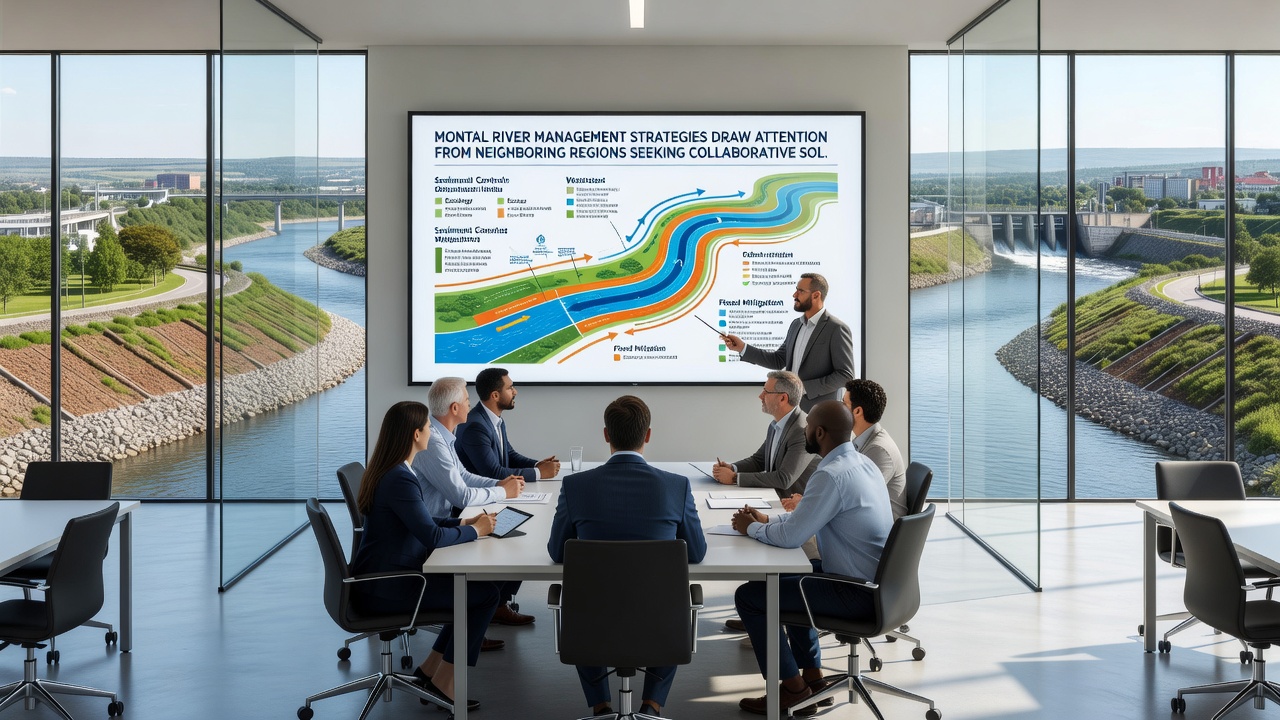
Additional elements under consideration include shared maintenance protocols for channel dredging and vegetation management, and these protocols have demonstrated cost efficiencies in Montal through reduced equipment downtime. Data shows that coordinated dredging schedules lowered annual operational expenses by 15 percent compared to previous independent efforts, and neighboring officials reviewed these savings alongside environmental impact assessments that confirmed minimal disruption to aquatic habitats.
Potential Structures for Collaborative Arrangements
Discussions have centered on establishing a regional river basin commission that would coordinate monitoring standards and emergency response procedures across boundaries, and this structure draws from frameworks already used in other European watersheds. According to reports from the International Water Management Institute, comparable commissions elsewhere have facilitated faster information exchange during drought conditions, and participants in the Montal sessions referenced these examples when outlining governance options. Yet the process remains in early stages, with focus placed on identifying funding sources and legal mechanisms that respect each region's regulatory autonomy.
One study revealed that joint monitoring stations positioned at border points could provide continuous data streams on water quality parameters, and such stations would support early detection of contaminants traveling downstream. Those who've studied similar setups note the value of standardized reporting formats that allow direct comparison of results across jurisdictions, and this standardization forms a key point in ongoing negotiations.
Conclusion
Regional interest in Montal's river management strategies continues to evolve through structured dialogues that emphasize practical adaptations and shared resources, and outcomes from the October 2026 sessions will shape next steps in cross-border planning. Evidence gathered so far points to tangible benefits in flood resilience and water efficiency that other areas seek to replicate, while maintaining focus on localized conditions and stakeholder input. Further developments depend on formal agreements that align technical capabilities with regulatory requirements across the involved territories.